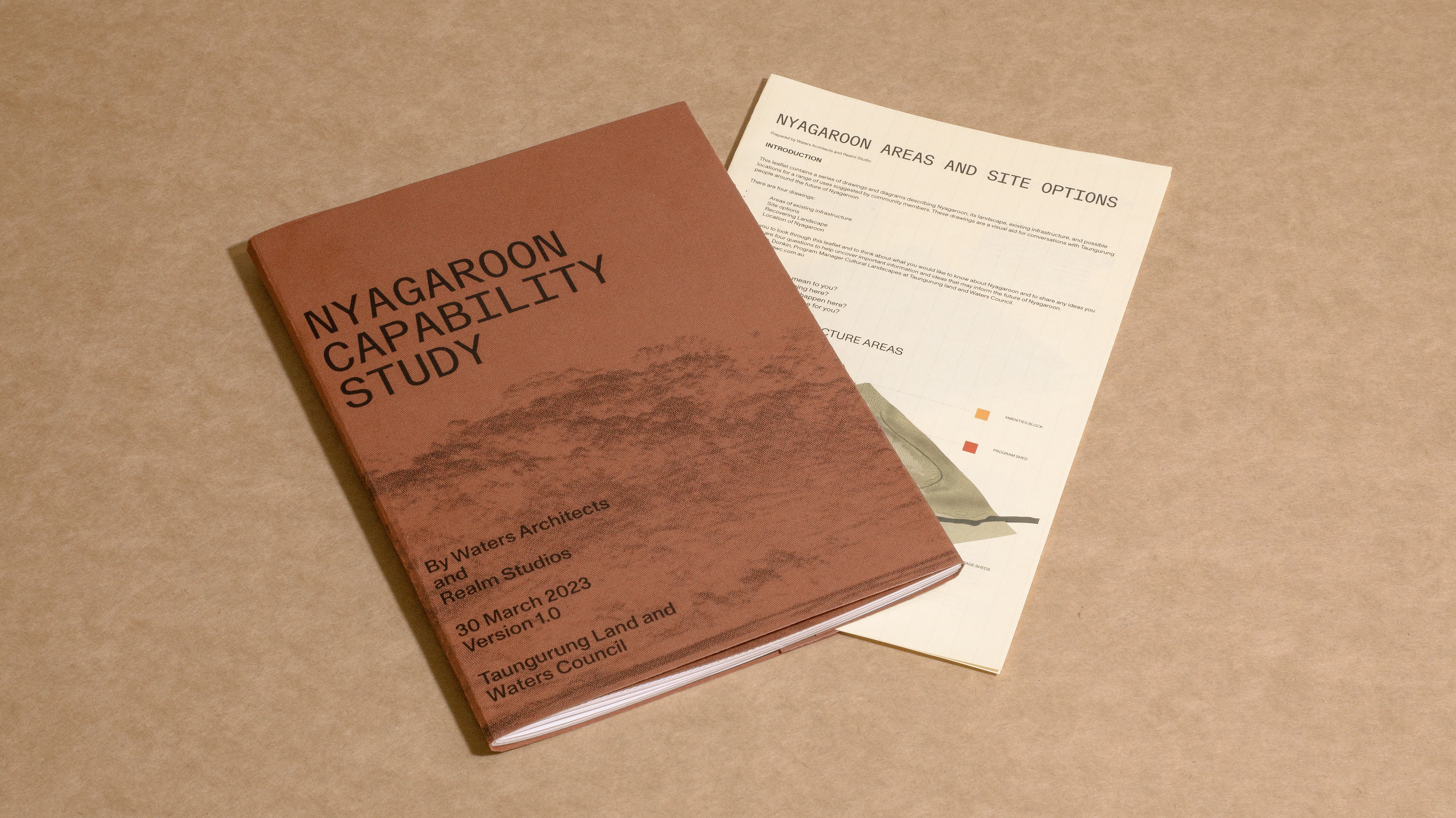
The Nyagaroon Site Capability Study, produced by our team at
WA, is an intricate exploration of the Nyagaroon area, collating site
assessments, topographic and infrastructural mapping, and future development
options. Through on-site visits, consultations with community members familiar
with the site, and collaboration with Realm Studios and the Taungurung Land and
Waters Council, we've created a comprehensive study that not only highlights
the unique attributes of Nyagaroon but also foresees potential transformation
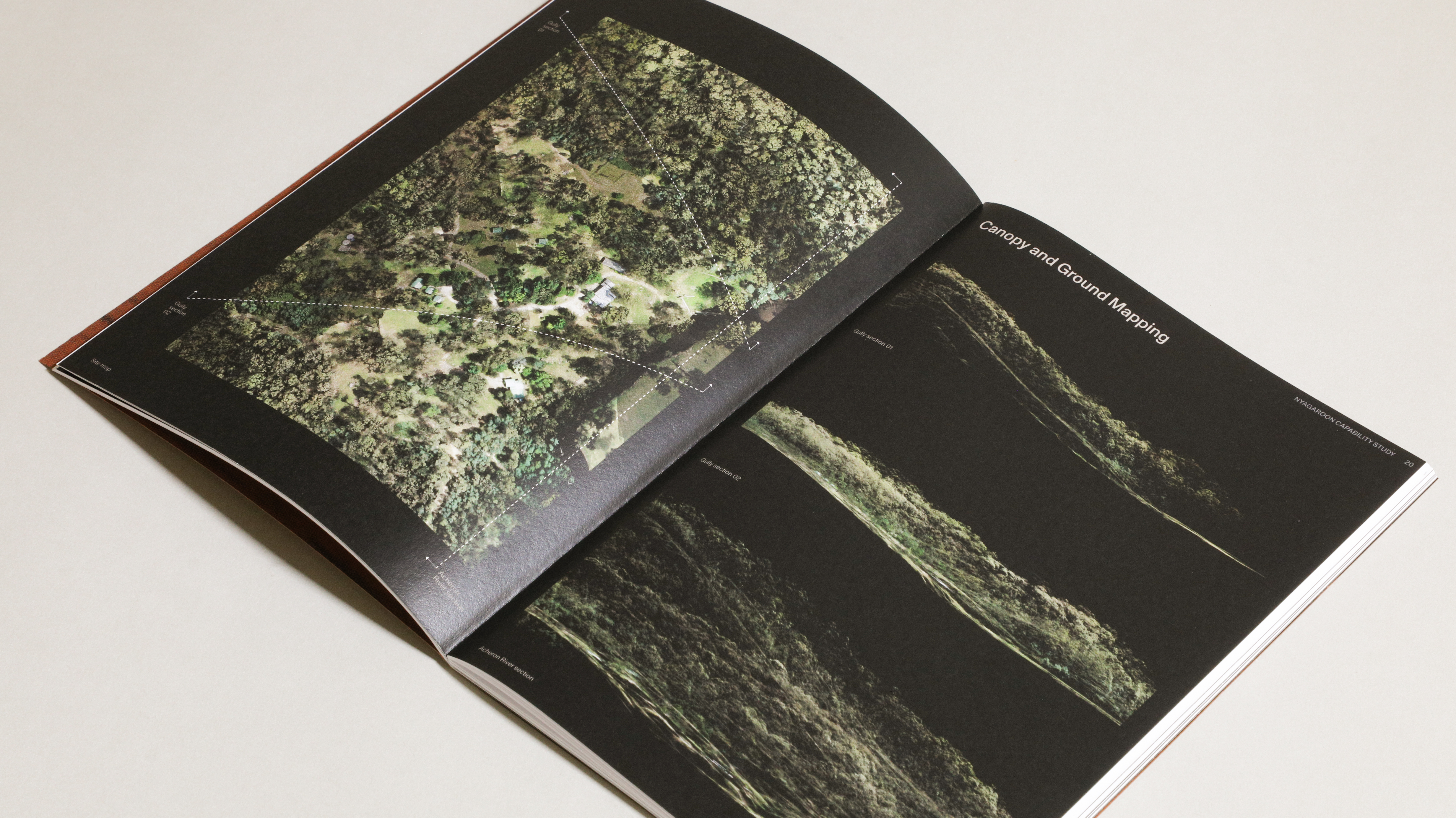
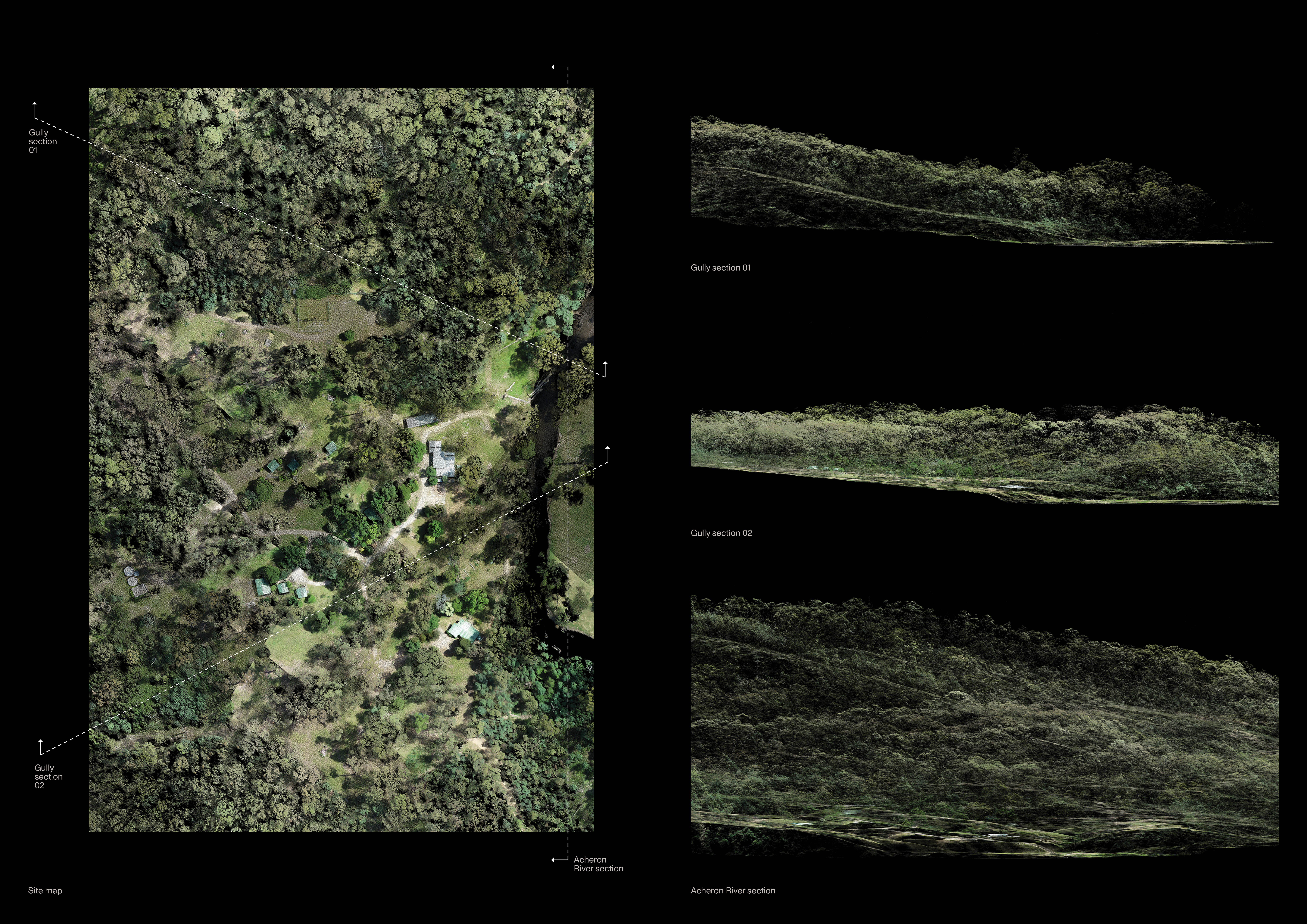
scenarios. The project presents a deep understanding of the area's topographic
context, including notable features such as the surrounding ranges and
significant views, while incorporating LiDAR point cloud scan data to showcase
intricate landscape details like ground form, vegetation, and canopy
structures.


Beyond the initial contextual mapping, we've also included
detailed diagrams that depict the landscape and infrastructural conditions of
the erstwhile Acheron Youth Camp. These additional resources are invaluable in
comprehending the site's physical characteristics and identifying future
development opportunities, as well as recognizing areas that must be protected
due to their ecological value.

Aerial Lidar Mapping:
TLaWC
Photography:
WA
Office Locations:
Contact:
Instagram:
Warrnambool, South West Victoria, Gunditjmara Country
Parkville, Naarm, Wurundjeri Woi-wurrung Country
office@watersarchitects.com
@watersarchitects
